


P&K TAL2K (TA Luft 2002 / AUSTAL)
Terrain Height Raster
New Version P&K AST
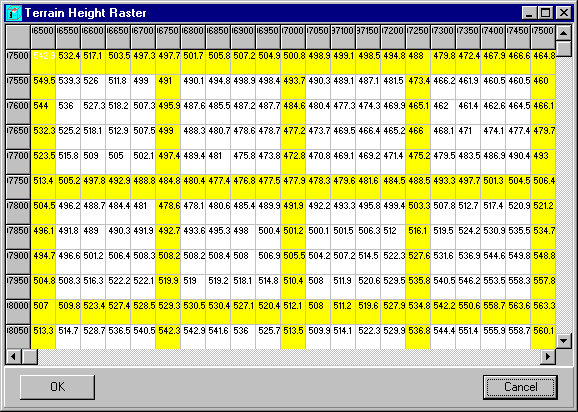
Form to edit a regular area height raster (rectangle). In the outer left column and in the top row the coordinates are indicated (right-justified). Within the matrix the heights can be modified. For better orientation an orientation raster (yellow) is shown. The area can be increased or made smaller in this form (right mouse button click).
The mesh size of the area heights raster does not have to match with the mesh size of the computation grid / computing area, however the computing area must lie completely within the area heights raster. The raster may not contain invalid values (NODATA_value) or gaps and must be regular for the computation.
Also see: