


P&K TAL2K (TA Luft 2002 / AUSTAL)
Height Profile
New Version P&K AST
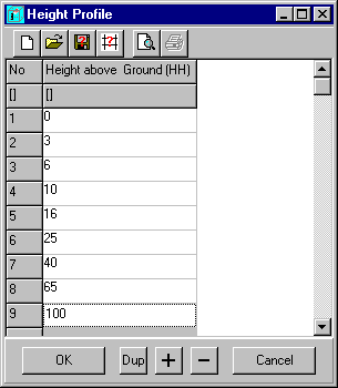
Vertical raster (HH) defined thru the z coordinate of the edge points of the layers as height above ground.
Default is: 0 3 6 10 16 25 40 65 100 150 200 300 400 500 600 700 800 1000 1200 1500.